Maps, Travel and Discovery Collections
The Library’s extensive map collections offer worldwide coverage as well as focusing on Manchester and the surrounding area.
Items in the collections range from 15th-century world maps to modern day interpretations of the city. The collection is a valuable source of geospatial data and offers a wealth of primary sources for studies in history, colonialism, art history, earth sciences, urban development and physical and human geography. The Library also holds significant collections relating to travel and discovery, which include early printed atlases and first editions of the published accounts of prolific travellers and explorers.
Map collections
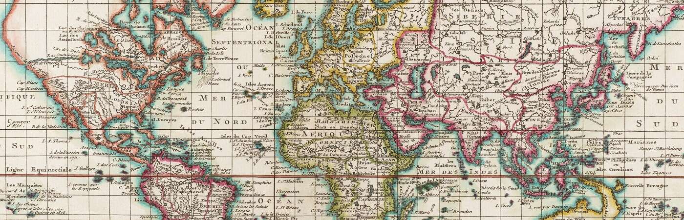
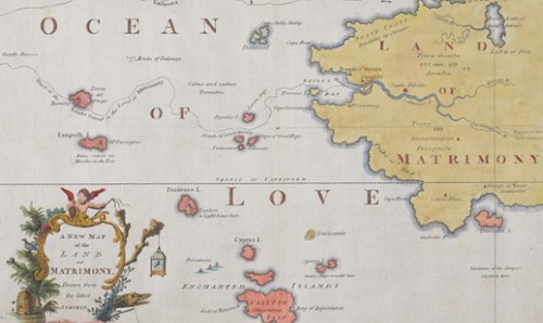
The map collections offer a wide range of historical, topographic and thematic mapping. They reveal popular geographical ideas from ancient times to the 21st century. They document colonial administration and racial stereotyping as well as imperial propaganda and ideology. They show the growth of towns and cities, political administration, transport networks and the impact of climate change. The map collections comprise over 140,000 printed map sheets and over 1,300 atlases. They provide examples of map design spanning hundreds of years including maps that show fictional places, satirical maps, and maps which challenge the geographical ideas and practices of the past.
Many of our maps and plans document Manchester’s vibrant history, from the 18th century to the present day. They capture the impact of the Industrial Revolution on the city and show the emergence of its canals, railways and transport links. Detailed Ordnance Survey mapping and maps by private surveyors such as William Green (1794) and Joseph Adshead (1851) provide detailed information about land use, in some cases showing the layout of public buildings, the positions of individual trees and lampposts, and the names of landowners and local businesses. Other maps offer insight into living conditions, social behaviour and contemporary popular culture.
The majority of maps in our collection originate from the University of Manchester Geography Department and were primarily used in teaching from the 1920s to the early 21st century. The collection also includes a number of wall maps from the School of Education and the History Department.
In addition, the Booker and Mills map collection comprises over 900 maps, donated by two private collectors: Mr R. P. L. Booker and Colonel Dudley Mills. The main strengths of the collection include large facsimile reproductions of early mapping, ornamental examples of French and Dutch mapping of Asia, and early town plans of London and Paris.
A further collection of maps assembled by the Manchester Geographical Society contains in excess of 2,000 maps. The collection represents the interests of one of the most important provincial societies of its day. The Society’s early activities focussed on colonial geography, especially in relation to commercial and missionary activities. This is demonstrated by a focus on 19th-and 20th-century mapping of Africa.
Together, the map collections offer the following range of material:
- Historical town plans for many major cities with an emphasis on Manchester and the surrounding area.
- 18th- and 19th-century antiquarian mapping and admiralty charts covering many countries, islands and oceans.
- Ordnance Survey mapping of the UK and Ireland in a variety of scales dating from the 1850s to the present day.
- Official national mapping of many countries.
- Earth and environmental science mapping including geological maps, land utilisation and soil survey maps, climate and meteorology mapping and maps which show the distribution of natural resources.
- Thematic maps such as population density, ethnography, and transport and leisure.
- Ephemera such as tourist maps and special issue supplements and posters.
- A number of works by contemporary artists, who explore our relationship with space and the nature of mapmaking.
Many more maps can also be found within our printed, archival and visual collections. Of particular note are: a 16th-century world map by Pierre Desceliers in our French manuscript collection, and numerous maps within our Japanese collection.
Travel and discovery
In addition to the map collections, the Library also holds significant printed collections relating to travel and discovery. These include important atlases, such as Christopher Saxton’s Atlas of England and Wales (1579), Abraham Ortelius’s Theatrum Orbis Terrarum (1592) and Jan Blaeu’s Atlas Major (1662) in eleven volumes. There are also several editions of Ptolemy’s works including one of the earliest editions published in Bologna in 1477. Modern atlases include many world, national and specialist atlases that explore themes such as climate, migration, conflict and social issues.
A very extensive series of published accounts of early voyages and travels is available including first editions of such famous collections as those of Sir Francis Drake, Sir Walter Ralegh, Richard Hakluyt, Samuel Purchas, the De Bry family, Louis Antoine de Bougainville, Edward Daniel Clarke, Alexander von Humboldt and Peter Simon Pallas.
The collection also has particularly significant holdings of the works of James Cook, and another circumnavigator well represented is Hon. Commodore John Byron. Other authors in the collection include Sir Henry Blount, Lady Isabel Burton, John Cabot, John Hunter and Robert Lyall.
The Manchester Geographical Society collection of atlases and books written by or for travellers and traders documents the colonisation of Africa and other areas, as part of the Victorian imperialist enterprise.
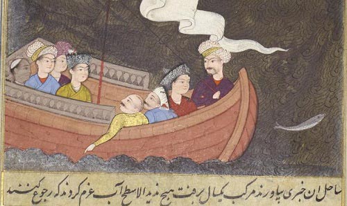
A number of fine illustrated works, which relate to voyages and travels, also feature in the Library’s collections.
List of collections
Physical collections
- Booker and Mills Map Collections
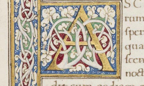
- French Manuscripts
- Japanese Collection
- Manchester Geographical Society Archive
- Manchester Geographical Society Collection
- Manchester Geographical Society Photographic Slides Collection
- Voyages and Travels Printed Works
Digital collections
- Japanese Maps in Manchester Digital Collections
- Mapping Manchester in Manchester Digital Collections
- Maps Collection in Library Digital Collections
Exploring subject areas
An overview of our Special Collections, including information about the background and history of our holdings.
Special Collections A-Z
Explore the Special Collections through the collection names and descriptions using our searchable A-Z tool.